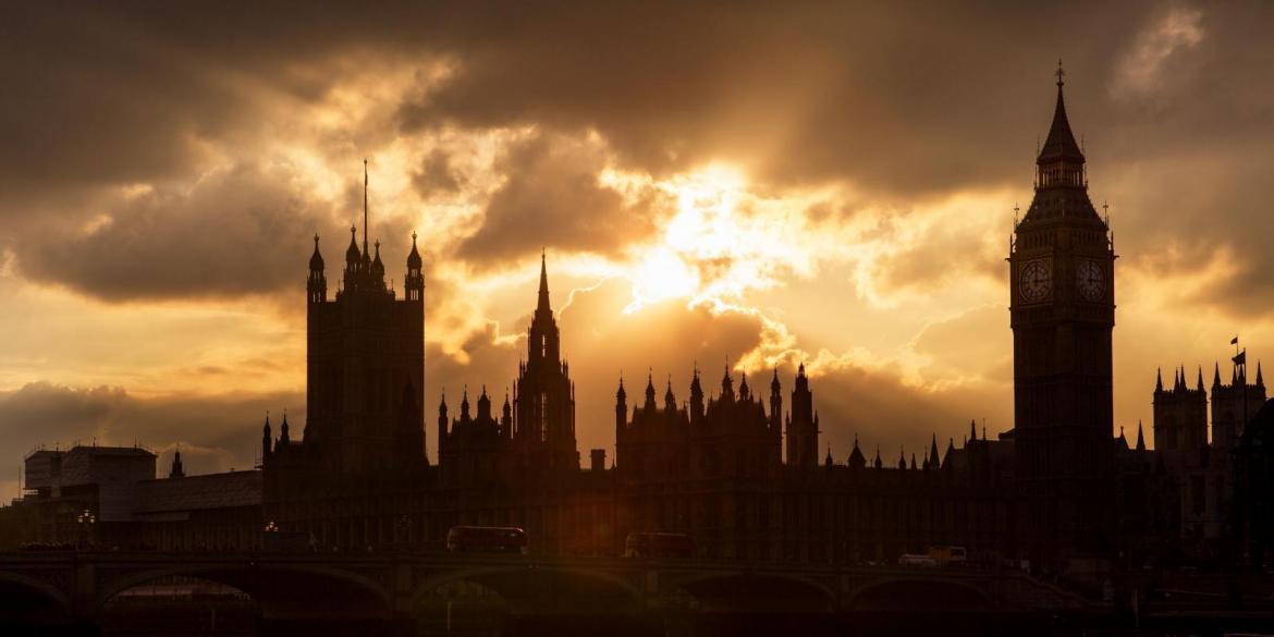
It's looking fair for the London Marathon on Sunday, but feeling a bit cool for spectators until the sun appears. Mostly dry this weekend, but chilly by night.

Weather In
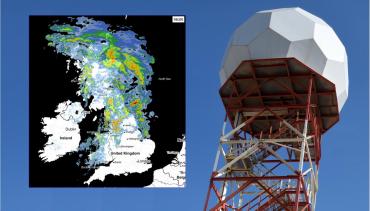
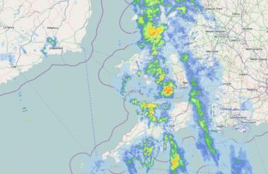
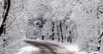
Track the latest rain, sleet and snow on the Netweather Radar
1 |
1 |
||
2 |
2 |
||
3 |
3 |
||
4 |
4 |
||
5 |
5 |
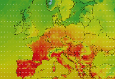
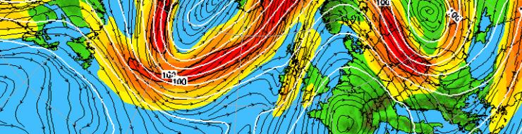
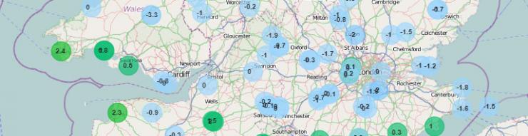
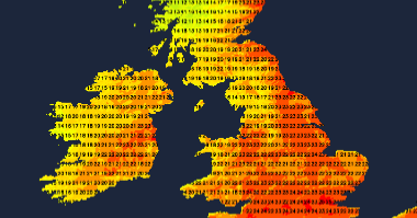
April temperature records were broken in many locations in Spain and France this weekend. Cooler air is on the way with a wet and wild Monday morning in the Midlands.
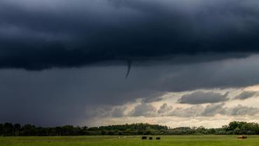
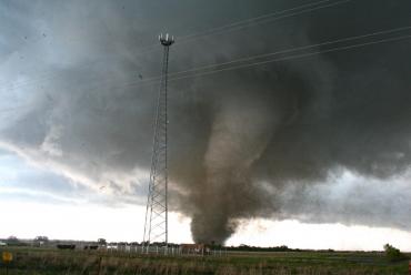
Several funnel clouds have been spotted over the last few days under thunderstorm clouds, this blog looks at how they form and why they are different to tornadoes.
 UKV
UKV NetWx Model
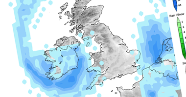 GFS
GFS Fax
Fax ECMWF
ECMWF GEFS Ensembles